Palisades Earthwork: Under 1000 CY, No Haul Route
Earthwork analysis for a Pacific Palisades home with a basement: cut/fill depth model keeping import under 1000 CY to skip the LADBS haul route hearing.
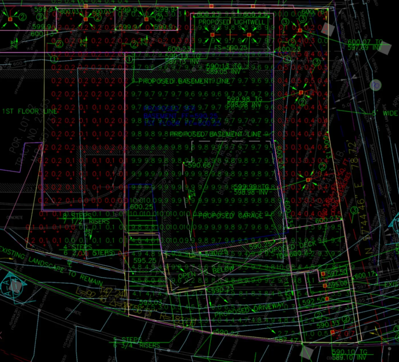
If you have worked on a hillside project in Pacific Palisades, you know the words “haul route” come up fast. Los Angeles requires a formal haul route hearing before the Board of Building and Safety Commissioners once a project crosses 1,000 cubic yards of cut or fill in the Hillside Construction Regulation District (Sec. 13.20 LAMC). The hearing is not a small thing. It means a deposit, a bond, traffic control plans, neighbor notifications, and a few months of coordination. We have seen projects get stuck in review because of the haul route package alone.
So before we go too far into grading on a recent Pacific Palisades single-family home with a basement and an attached garage, the question is always the same: can we get the cut and fill to balance at under 1,000 CY?
Here is how we set up the analysis to answer that question early.
The Site
Single-family home on a hillside lot in Pacific Palisades. The garage is attached to the basement level, with a new driveway apron tying into the existing street. The existing house is out of the way, the lot is cleared, and we are starting from the dirt.
Because the house steps down with the slope, the basement is what drives the cut. The garage floor at basement level, plus the new driveway apron down to the street, sets most of the work.
Step 1 — Existing Contour Map
The first thing we model is the existing ground. We take a clean survey and build a contour map that shows where the site is before we touch it. The goal is a baseline that you can trust, because every number after this depends on it.
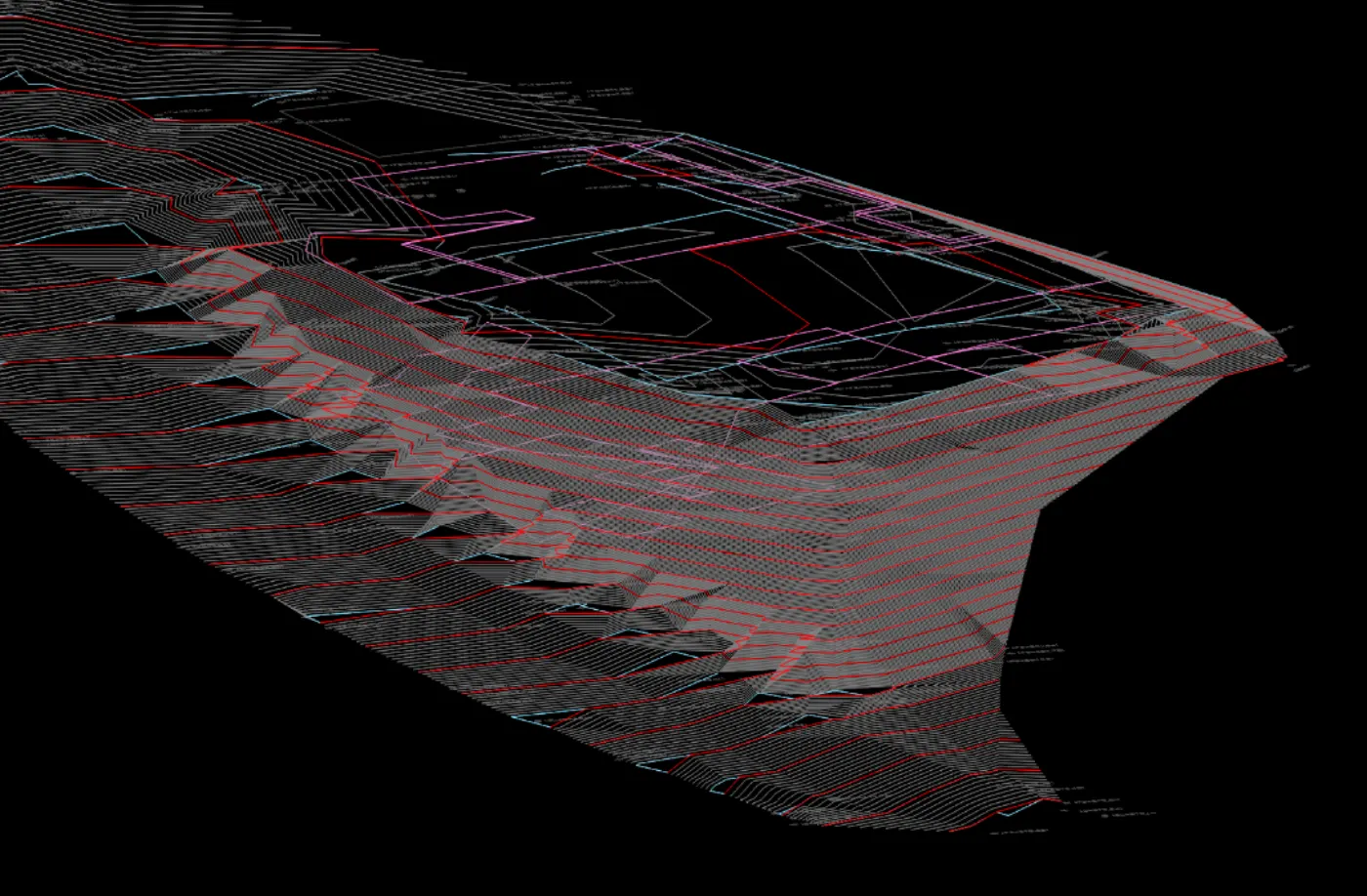
If the existing is off, every cut and fill number downstream is off. Spending the time on a clean existing surface is the cheapest step in the whole process.
Step 2 — Proposed Contour Map
Next we lay the proposed grading plan on top. The house pad, the basement, the garage, the driveway apron down to the street, and how everything ties into the property line elevations. We shape the proposed contours to follow the building footprint and the drainage plan.
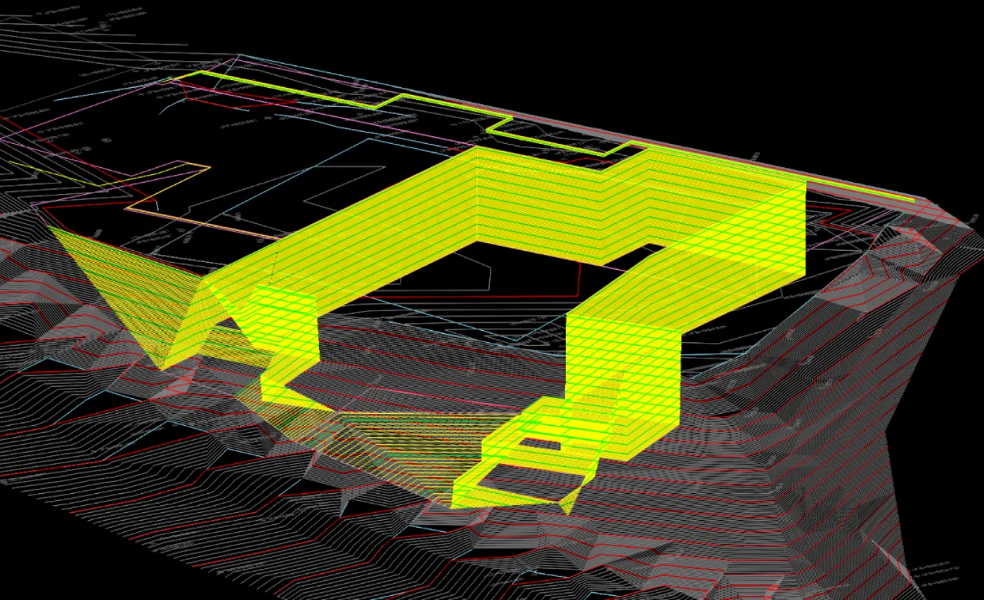
The proposed contours need to be readable on their own. When you look at this view, you should be able to see the cuts and the fills without measuring them. The deeper the basement, the more this view tells you about whether the site is balanced.
Step 3 — Cut and Fill Depth Analysis
Here is where the haul route question gets answered. We use our own in-house plugin to take the existing and proposed surfaces and compute the cut and fill depths across the site. The output shows positive values for cut and negative values for fill for every point on the site, in feet.
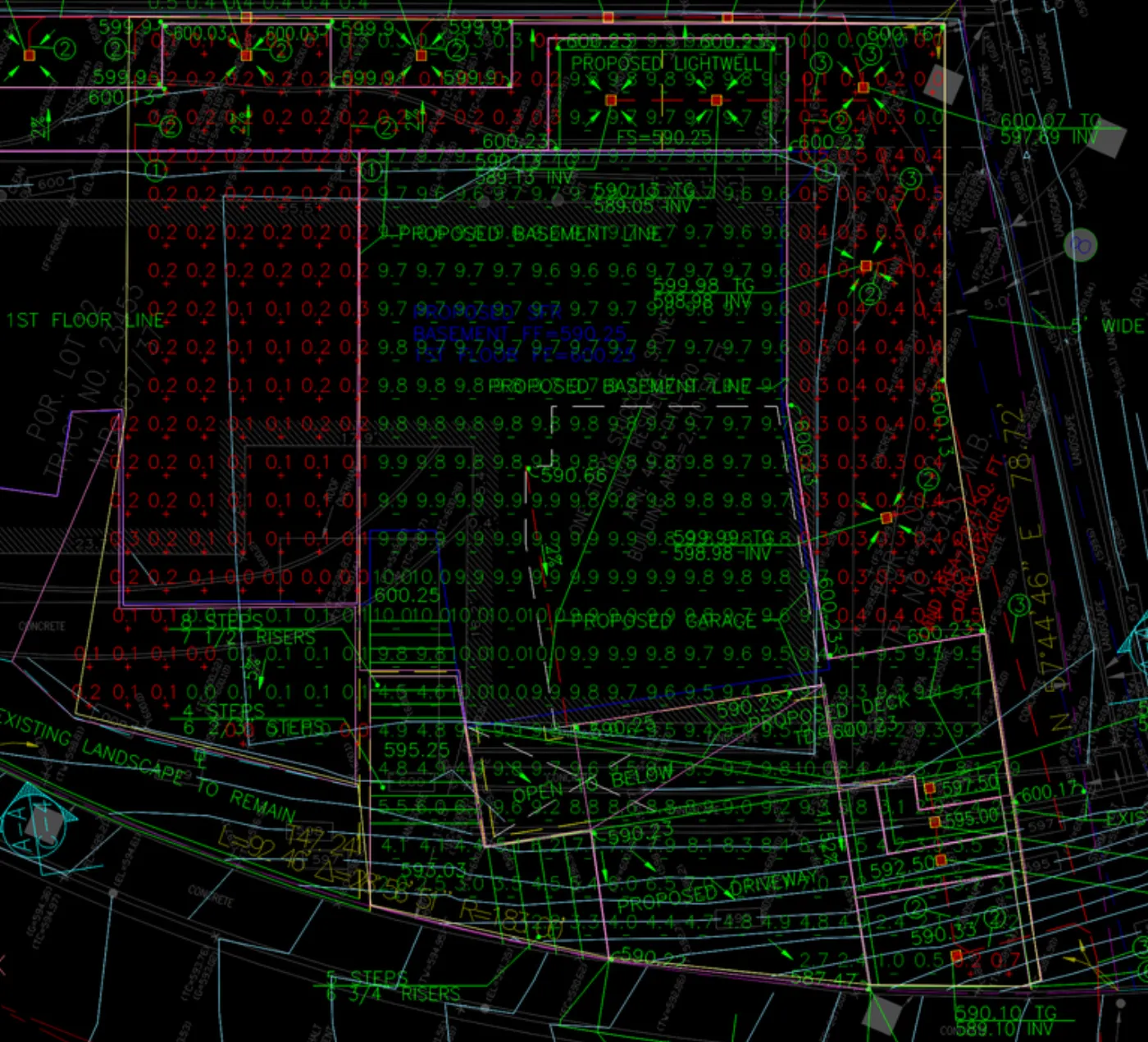
You can see the deep cuts where the basement excavation is, the fills in the yard, and how the two balance across the lot.
For this project, the volumes came in just under the 1,000 CY threshold. That meant we did not need a haul route hearing, no bond, no deposit, no traffic control plan, no neighbor coordination triggered by the earthwork alone, and a shorter plan check with fewer back-and-forth rounds with the City. The result was a faster permit, less cost, and less disruption to the neighbors.
What the Numbers Mean for Your Project
The 1,000 CY threshold is set in the LA City Hillside Construction Regulation District (Sec. 13.20 LAMC), and it applies to hillside projects inside the City of Los Angeles. Pacific Palisades falls under LADBS, so this is the rule we are working against on a job like this.
A few things can push you over. Deep basement levels that step the house into the slope, larger lot coverage where the house pad covers more of the site, significant site retaining walls that require excavation behind them, and pools or other deep features. The analysis is worth doing early. It is a lot cheaper to redesign grading and shift the house around on the lot than to discover 1,200 CY at the end of plan check.
The LADBS haul route application bulletin (P/BC 2023-134) is the controlling document if you are over the threshold. The grading plan side of the work is documented in our grading plans service page, and the basement excavation side is on our excavation plans service page. For Pacific Palisades hillside work in general, the Pacific Palisades city page covers LA City permit process and common pitfalls.
In Short
For hillside projects, the 1,000 CY threshold is the line that turns a normal grading permit into a months-long haul route hearing. Our approach is to set up the existing and proposed contours early, run the cut and fill analysis in our own plugin, and use the numbers to inform the design before it is set in stone. If you are early in the process on a Pacific Palisades hillside project, send us the survey and a sketch of the proposed house. We will run this same analysis and tell you what the earthwork is really going to cost you in time and fees before you commit to a design direction.
Frequently Asked Questions
Related Posts
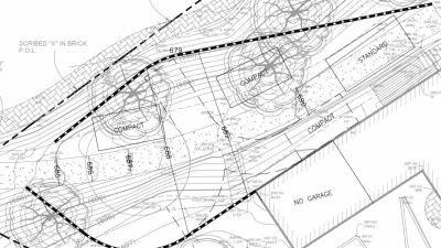
Silver Lake Hillside Driveway looking for Optimum Route
Finding a clean driveway path on a steep Silver Lake hillside lot: a driveable route with a turnaround in front of the house, on tight existing grades.
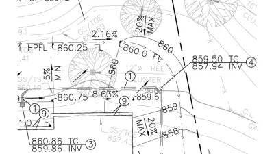
Hillside Grading and Drainage for Los Angeles Luxury Homes
Los Angeles hills from Bel Air to Malibu demand careful hillside grading and drainage. Here's what building on these slopes requires.
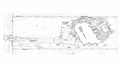
Why Drainage Plans Matter on LA Hillside Homes
Los Angeles hillsides from Pacific Palisades to Beverly Hills bring views and slope challenges. Here's how drainage plans manage water on hillside lots.